The Truck Activity Monitoring System (TAMS) was originally conceived and developed by the University of California, Irvine, Institute of Transportation Studies under sponsorship of the California Air Resources Board (CARB), and subsequently expanded statewide across California and enhanced through follow-up funding by the California Department of Transportation (CALTRANS).
The focus of this research is to develop detailed models to characterize trucks that can be implemented at existing Inductive Loop Detector (ILD) -based traffic monitoring sites without any in-pavement modifications. This was accomplished by upgrading these existing traffic monitoring sites with inductive loop signature technology, and implementing state-of-the-art machine-learning classification models.
ILD sites were originally designed to provide only vehicle counts with no classification. By incorporating data from inductive vehicle signatures, the classification models developed through this research are now able to distinguish over 40 truck configurations at ILD sites.
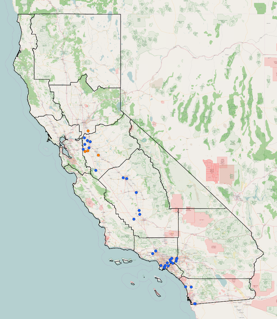
TAMS has been deployed at over 90 locations along major truck routes in California, encompassing state borders, regional cordons and within major metropolitan areas. However, the current scope of deployment has been scaled back to the Southern California region due to the impacts of the CoVID-19 pandemic. This web portal provides an interactive GIS-based interface to provide users with access to the detailed truck data collected from these sites.
Disclaimer The data presented on this web-site is the result of classification models developed in this research study. The data has not been cleaned or validated, and the results presented may contain significant errors and is not intended to be directly used as a tool for analysis or policy-making decisions.